For the Web version, you can view the touristiness map in Google Maps, but if you have Google Earth, it is more useful to view it there; to do this, download the KML file and add it to Google Earth "My Places" folder.
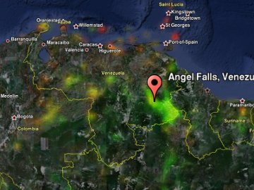
This map contains only places that are away from cities; usually outback, hiking destinations, or remote tourist attractions. Color indicates touristiness. Touristy places are red (e.g. Greek islands). Extremely non-touristy places are green; these are often very remote locations where you are unlikely to meet any tourist for weeks (sections of Amazon basin). Places in between these extremes are yellow (for example Ladakh). Grey areas have no Panoramio photos or are not remote at all (New York City).
For the Web version, you can view the interesting remote places map in Google Maps, but if you have Google Earth, it is more useful to view it there; to do this, download the KML file and add it to Google Earth "My Places" folder.
I hereby grant the license to use these maps, data, and code under Creative Commons Attribution license. You can also download the Python script used to create these maps.